About Musée des plans-reliefs
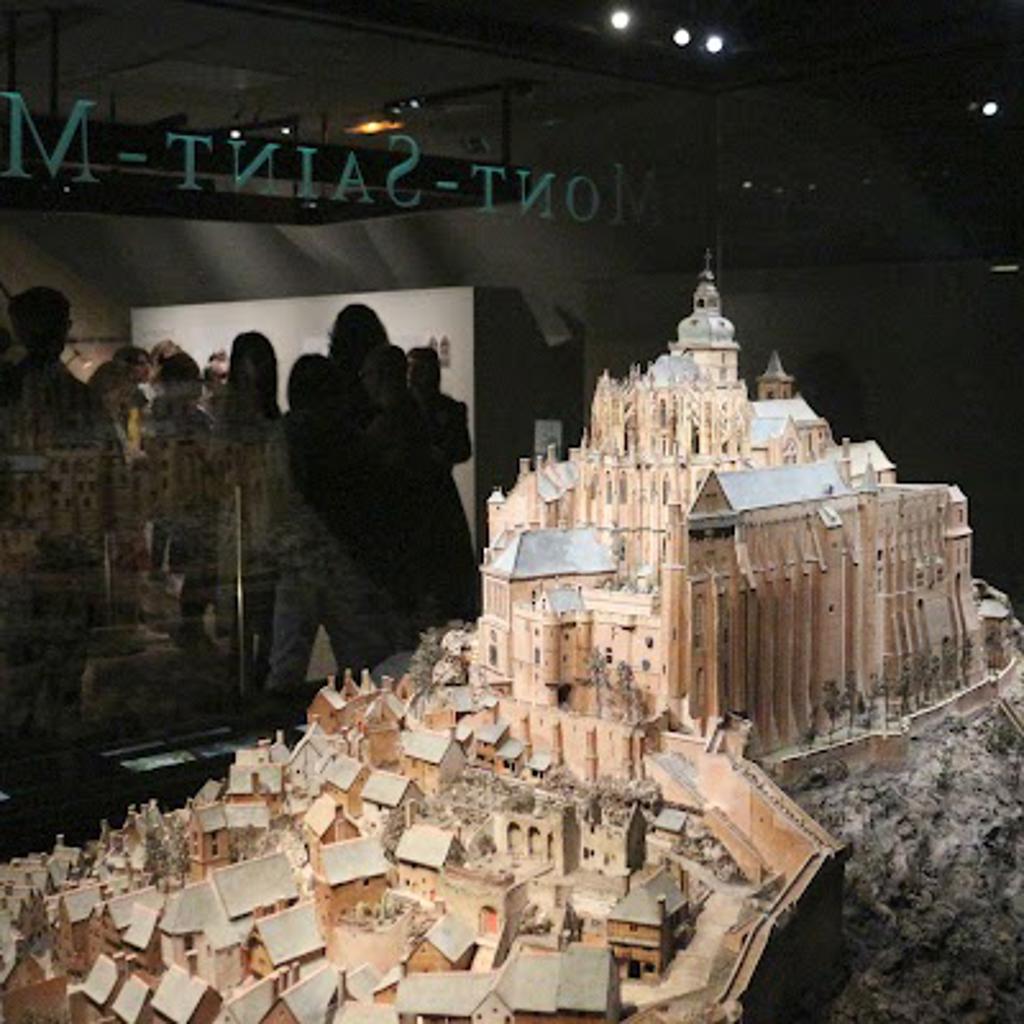
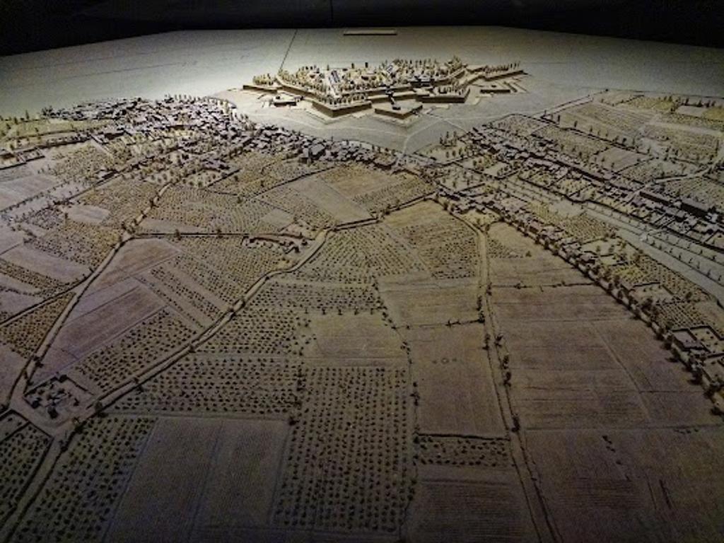
Relief maps stretch across the room, their intricate details capturing entire landscapes in miniature. Hills rise, rivers wind, and cities cluster, all crafted with precision. These three-dimensional maps, some centuries old, were once tools of military strategy and royal planning. The dim lighting enhances the textures, making the terrain appear almost lifelike, as if you could step into these scaled-down worlds.
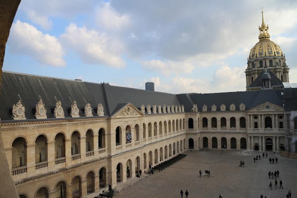
Housed in the Hôtel des Invalides, this museum preserves a unique collection of relief maps, or "plans-reliefs," dating back to the 17th century. Originally commissioned by Louis XIV, these maps served as vital tools for understanding and defending French territories. They were not just maps but works of art, combining geography, architecture, and craftsmanship. Today, they offer a glimpse into the past, showing how France’s leaders once viewed their world.
Origins of the Relief Maps
Louis XIV’s military engineer, Vauban, began creating these maps in the late 1600s. They were used to plan fortifications and military campaigns, offering a bird’s-eye view of strategic locations. Each map was painstakingly crafted, with materials like wood, sand, and silk used to replicate landscapes and structures. By the 18th century, the collection had grown, becoming a symbol of France’s military and artistic prowess.
Plan your perfect trip to Paris with Travo! Download now and start exploring.
Craftsmanship and Detail
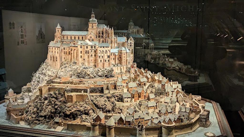
Every map in the museum is a masterpiece of detail. Notice how the fortifications are rendered with precision, from the angles of bastions to the placement of moats. Rivers are painted to shimmer like real water, and tiny trees dot the countryside. The scale, often 1:600, allows for incredible accuracy, making these maps both functional and beautiful. Craftsmen worked for months, sometimes years, to complete a single piece.
Strategic Importance
These maps were more than artistic endeavors; they were tools of power. Generals and kings used them to plan battles, assess defenses, and visualize territories. During the reign of Louis XIV and later Napoleon, the maps played a crucial role in military strategy. They also served as a way to impress foreign dignitaries, showcasing France’s advanced knowledge and resources.
Preservation and Display
After the fall of Napoleon, the collection was moved to the Hôtel des Invalides, where it remains today. The museum carefully preserves these fragile works, protecting them from light and humidity. Visitors can view the maps in a specially designed gallery, where the lighting and layout highlight their three-dimensional qualities. Interactive displays provide context, explaining the history and significance of each piece.
Stories in the Maps
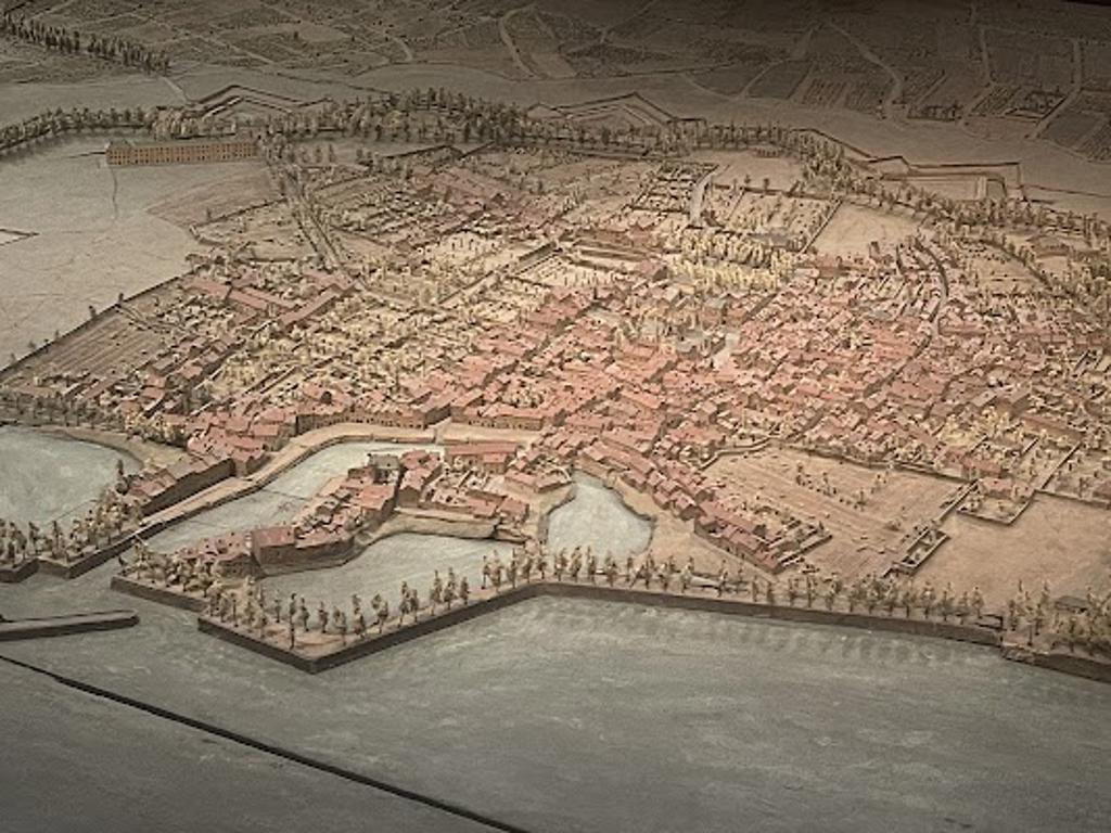
Each map tells a story. Look closely at the relief of Mont-Saint-Michel, and you’ll see the abbey perched high above the tidal flats, just as it was centuries ago. The map of Strasbourg reveals the city’s fortifications before modern changes reshaped it. These maps freeze moments in time, offering a window into the landscapes and cities of the past. They also reflect the ambitions and anxieties of the rulers who commissioned them.
Modern Relevance
Today, the Museum of Relief Maps is not just a place to admire historical artifacts; it’s a space to reflect on how we understand and represent the world. The maps remind us of the power of visualization in decision-making, a concept still relevant in fields like urban planning and environmental science. For visitors, the museum offers a unique blend of history, art, and geography, making it a must-see in Paris.
Map loading...
Location
Cour de la Valeur, 75007, Paris
More Information
Nearby Places
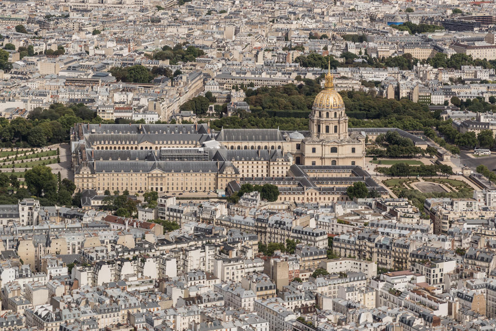
Hôtel des invalides
57m away
Cour Saint-Joseph, 75007, Paris

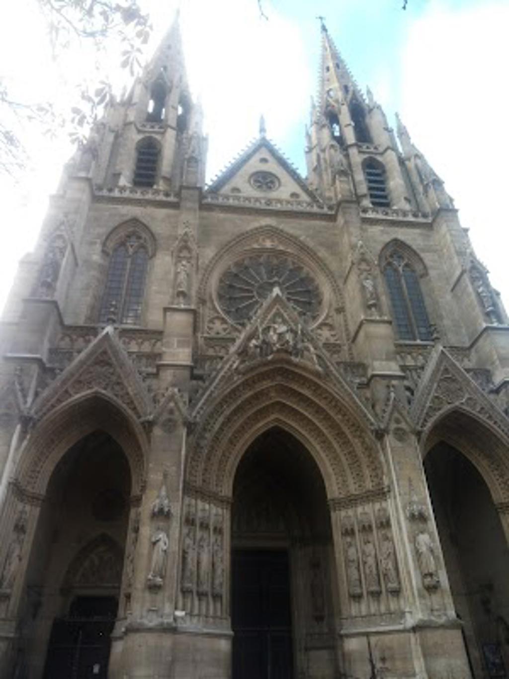
Saint Louis of Les Invalids Cathedral
102m away
Cour de Metz, 75007, Paris
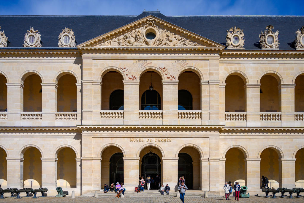
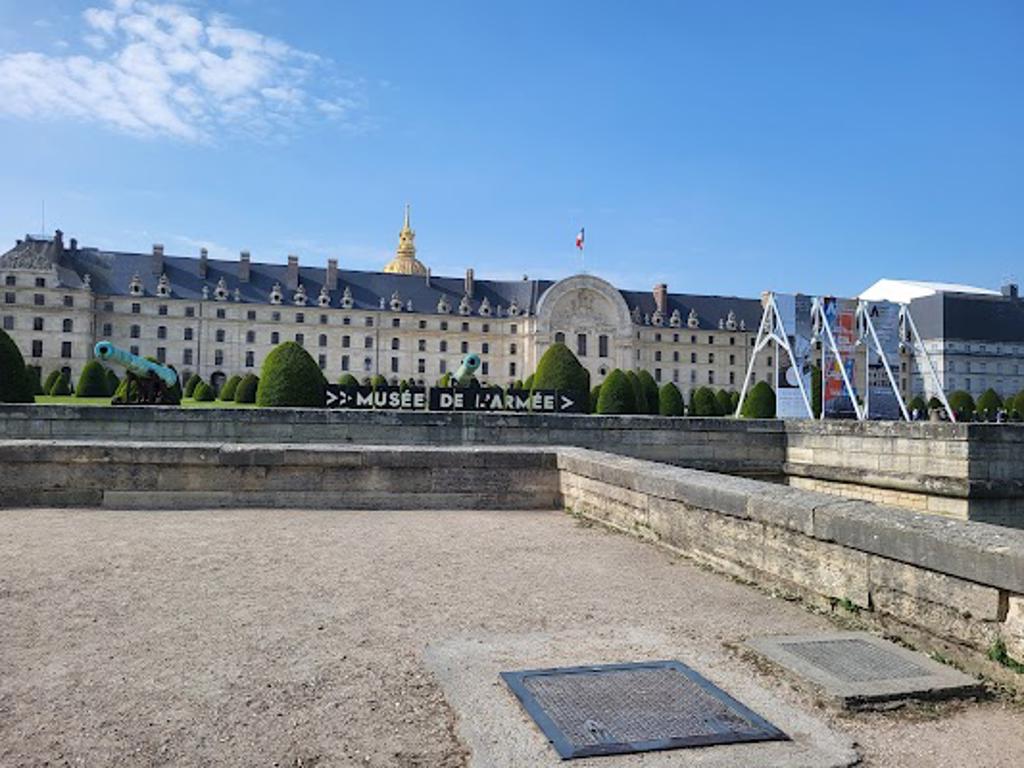
The Army Museum
118m away
129 Rue de Grenelle, 75007, Paris
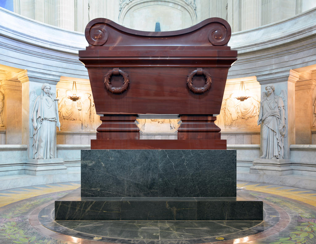
Tomb of Napoleon
167m away
Cour du Dôme, 75007, Paris
Hôtel de castries
483m away
Rue de Varenne, 75007, Paris
César Franck
560m away
Rue Casimir Périer, 75007, Paris