
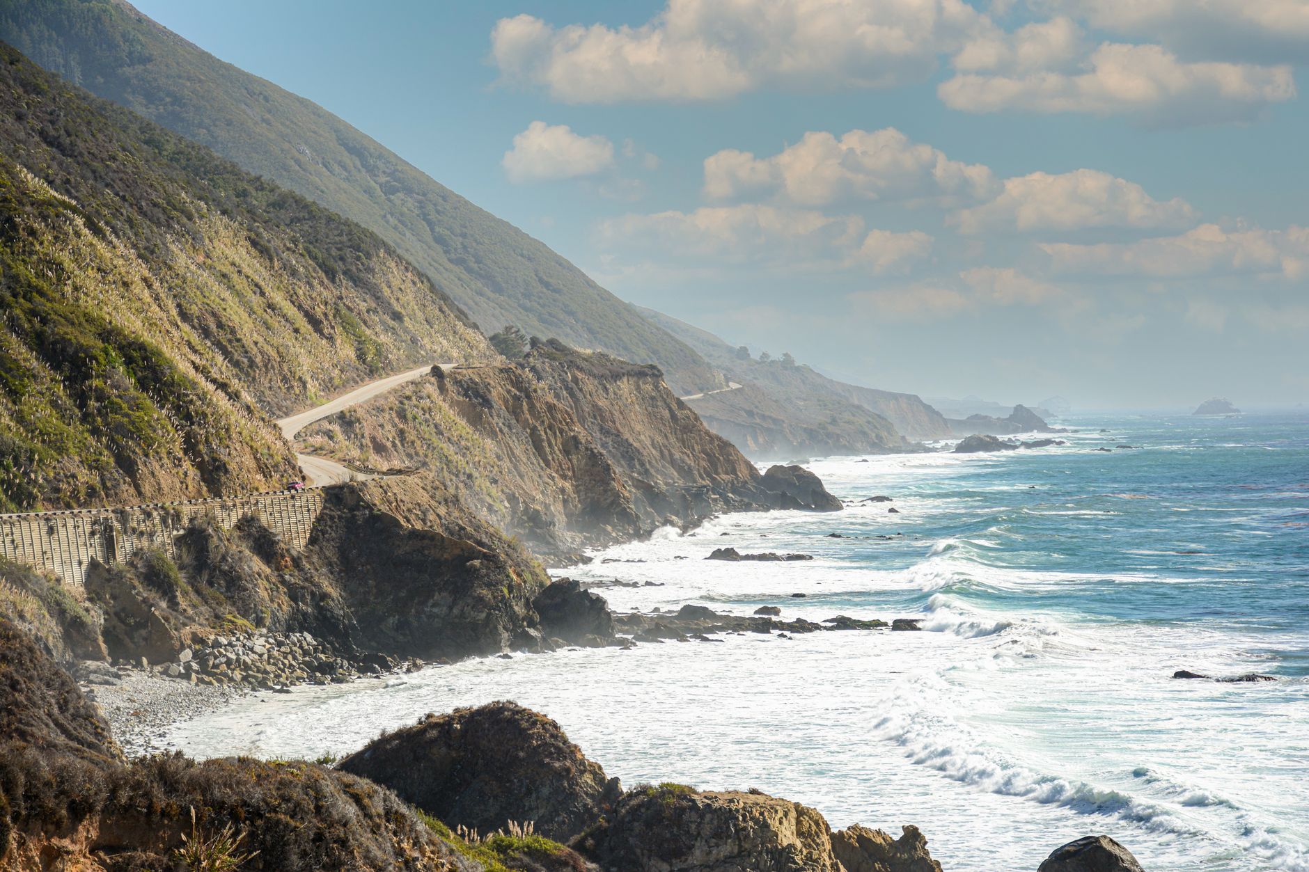
A seven-day Pacific Coast Highway itinerary should feel like a road trip, not a relay race. The most satisfying one-week route focuses on California's Central Coast from San Francisco to Los Angeles, with overnight stops around Santa Cruz, Monterey or Carmel, Cambria, San Luis Obispo and Santa Barbara. That gives Big Sur a full day while leaving enough time to walk, eat and explore away from the car.
This plan assumes you sleep in San Francisco before Day 1 and leave Los Angeles late on Day 7 or the following morning. If your first day is an arrival day, spend that night in San Francisco, shift the drive by one day and drop the optional Los Angeles sightseeing. Before adding more stops, read this practical guide to planning a road trip around realistic limits.
Seven-day route at a glance
- Day 1: San Francisco to Santa Cruz
- Day 2: Santa Cruz to Monterey and Carmel
- Day 3: Big Sur to Cambria or San Simeon
- Day 4: Cambria to Morro Bay and San Luis Obispo
- Day 5: San Luis Obispo to Santa Barbara
- Day 6: Santa Barbara to Malibu and Santa Monica
- Day 7: Los Angeles and departure
The route is roughly 450 to 500 miles before local detours, but distance is the wrong way to judge it. Highway 1 includes slow curves, small towns, limited parking and viewpoints that deserve time. The Federal Highway Administration describes the 139-mile Monterey-to-Morro Bay section as the highway's most scenic stretch, so this itinerary protects that corridor instead of treating it as another transfer.
Should you drive southbound or northbound?
Southbound is convenient because many ocean viewpoints and pullouts are on the right side of the road. It also lets the trip build naturally from San Francisco toward Big Sur, the Central Coast and Los Angeles. However, some drivers dislike being beside the cliff edge. A northbound route is equally valid: reverse the overnight sequence and avoid awkward U-turns rather than forcing every southbound stop.
Before booking: make the route closure-proof
Highway 1 through Big Sur is vulnerable to landslides, storms, fires and construction. Never rely on an old blog post or navigation app for current access. Check the official Caltrans Highway 1 conditions before reserving remote accommodation, again a few days before departure and on the morning of the Big Sur drive.
If through-travel is blocked, do not follow an improvised mountain shortcut. Visit the accessible Big Sur section as an out-and-back from Carmel, then use the signed inland route through US-101 toward Paso Robles and Cambria. Keep refundable lodging where practical and treat one or two viewpoints as optional. The goal is to preserve the trip, not defeat a closure.
Day 1: San Francisco to Santa Cruz
Leave San Francisco after breakfast and follow the coast toward Pacifica and Half Moon Bay. The direct coastal distance to Santa Cruz is about 75 miles, but allow most of the day if you want a beach walk and an unhurried lunch. Choose one substantial stop, such as a coastal trail near Half Moon Bay, then add brief viewpoints only when parking is legal and clearly off the roadway.
Arrive in Santa Cruz before evening traffic. Walk West Cliff Drive, watch the surfers near Steamer Lane or visit the boardwalk if its seasonal schedule matches your dates. Stay in Santa Cruz so the first day remains forgiving after an early start, luggage pickup or rental-car delay.
Day 2: Santa Cruz to Monterey and Carmel
Visit Monterey, then continue to Carmel-by-the-Sea for a walk and sunset. The scenic 17-Mile Drive can fit if you deliberately skip something else, but it should not push dinner or check-in late. Sleep in Monterey for a broader range of practical services or Carmel for a quieter village atmosphere. Fill the fuel tank and download offline maps before Big Sur, where mobile coverage can be unreliable.
Day 3: Big Sur to Cambria or San Simeon
This is the signature day, and the road is part of the experience. Leave early and select a few anchors: Point Lobos, Bixby Creek Bridge, a redwood walk, a legal waterfall viewpoint or a state-park hike. Verify park and trail access directly because parking rules and closures can change independently of the highway.
Do not build the day around ten photo stops. Big Sur driving demands attention, while popular pullouts can fill quickly. Stop only where the vehicle is completely clear of traffic, let faster vehicles pass at designated turnouts and avoid driving the remote section after dark. Carry water and snacks, but do not assume that limited services mean there are no local businesses; support them when they are safely accessible.
Day 4: Cambria, San Simeon and San Luis Obispo
Start with one booked activity or nature stop. Hearst Castle requires enough time for its tour and transportation process, while the Piedras Blancas elephant seal viewing area is a flexible outdoor option. Check official hours and reserve ahead when necessary instead of copying times from a static itinerary.
Continue south through Cambria to Morro Bay. Walk near the waterfront and view Morro Rock from an appropriate public area, then finish in San Luis Obispo. This is intentionally a lighter driving day. Use the extra time for laundry, a relaxed meal or a weather backup rather than adding another distant town.
Day 5: San Luis Obispo to Santa Barbara
Choose a coast-focused route through Pismo Beach or an inland detour through the Santa Ynez Valley, depending on your interests. Solvang can be a pleasant meal stop, but adding it, a winery visit and multiple beaches creates a crowded day. Pick one anchor and protect enough time for Santa Barbara.
In Santa Barbara, walk the waterfront, explore downtown or visit the mission if its current access works for your schedule. Stay close to the area you want to enjoy in the morning. Parking, check-in and restaurant waits should be part of the itinerary, not surprises added after the route is built.
Day 6: Santa Barbara to Malibu and Santa Monica
Follow the coast toward Ventura and Malibu, checking local road conditions as well as the wider Highway 1 status. Choose one Malibu stop with legal parking, then continue to Santa Monica. Afternoon traffic approaching Los Angeles can erase a generous time buffer, so avoid a nonrefundable evening activity immediately after the drive.
Day 7: Los Angeles without an impossible checklist
Choose one part of Los Angeles rather than crossing the entire city before a flight. A Santa Monica morning, the Getty Center, Griffith Observatory or one museum district can anchor the day. Check reservations, opening hours and airport traffic, then leave a substantial return-car and security buffer.
Tools that help—and what each one cannot do
Google Maps is useful for basic routing, Roadtrippers can surface potential roadside stops, and Wanderlog can organize places and shared ideas. A dedicated road trip planner app may reduce tab-switching, but no consumer tool should override Caltrans notices, posted signs or local emergency instructions.
Travo is useful when you want the route to reflect your actual dates, pace, interests and fixed reservations. Instead of copying a generic stop list, you can ask Travo to build a day-by-day California plan, then adjust it when weather or access changes. For a slower trip, it can reduce daily stops; for families, it can balance drive time with meals and lower-effort breaks.
Keep the live itinerary in one place and save the essentials offline: accommodation addresses, booking confirmations, the Caltrans page, maps, fuel stops and emergency contacts. If you are comparing scenic long-distance routes, this two-week New Zealand road trip shows the same principle of protecting time from excessive driving.
Booking order
- Check the route: confirm the coastal section is viable and define the inland fallback.
- Book transport: compare open-jaw flights and the complete one-way rental price.
- Reserve constrained nights: secure Monterey or Carmel and Cambria or San Simeon before flexible city stays.
- Add timed attractions: book only the anchors you genuinely want.
- Save flexibility: keep viewpoints, short walks and meal stops optional.
Make this Pacific Coast Highway itinerary yours
The best seven-day route is not the one with the most pins. It is the one that protects Big Sur, gives each driver manageable days and still works when one stop closes. Start with these overnight bases, remove anything that does not match your interests and keep one flexible block for weather or traffic.
Build your personalized California road trip with Travo, then verify every live road, park and reservation detail before departure.