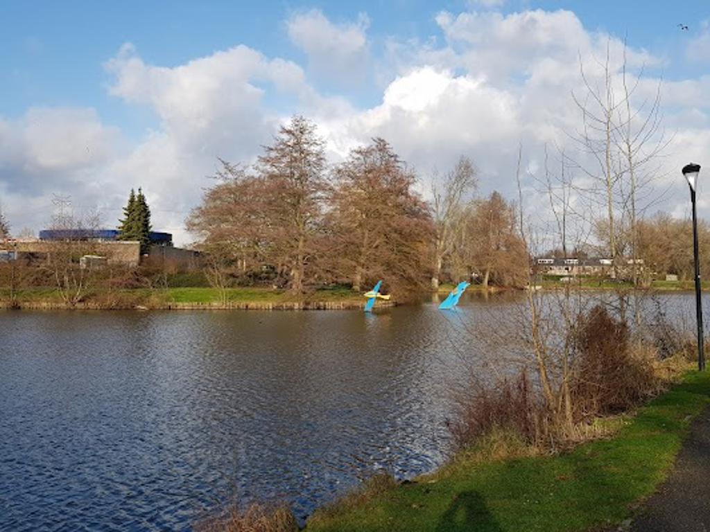
About Liberation Route Brabant 110
Steel markers rise from the ground, each one telling a story of courage and sacrifice. These markers, part of the Liberation Route Europe, guide visitors through the events of World War II in North Brabant. The path connects key locations where Allied forces fought to free the Netherlands from Nazi occupation. Each marker is a portal to the past, offering audio stories and historical context to bring the events of 1944 and 1945 to life.
The Liberation Route in Brabant is a living memorial to the region’s role in Operation Market Garden and the subsequent liberation of the Netherlands. The markers are placed at significant sites, such as battlefields, bridges, and towns that witnessed the struggle for freedom. This route not only commemorates the sacrifices of Allied soldiers but also highlights the resilience of local communities during the war.
Operation Market Garden’s Legacy
In September 1944, Operation Market Garden aimed to secure key bridges across the Netherlands to pave the way for an Allied advance into Germany. Eindhoven, a major city in North Brabant, was one of the first to be liberated during this operation. The markers along the route recount the bravery of the soldiers who fought here and the joy of the local population as they welcomed their liberators. However, the operation also faced setbacks, and the stories reflect the challenges and losses endured during this pivotal campaign.
Plan your perfect trip to Eindhoven with Travo! Download now and start exploring.
Stories of Local Heroes
Each marker along the route shares not only the experiences of Allied forces but also the stories of local resistance fighters and civilians. In Vlokhoven, the community played a crucial role in supporting the liberation efforts. Families hid soldiers, provided intelligence, and risked their lives to resist the occupation. These personal accounts, accessible through the audio stories, give a human face to the history of the liberation.
Interactive History
The Liberation Route is designed to engage visitors in an immersive experience. The steel markers, known as listening stones, are equipped with QR codes that link to audio stories in multiple languages. These stories, narrated by historians and actors, transport listeners to the events of the war. The route also connects to museums, memorials, and cemeteries, offering a comprehensive understanding of the region’s wartime history.
Symbolism and Design
The markers’ minimalist design reflects the somber nature of the events they commemorate. Their placement in the landscape creates a physical connection to the past, inviting visitors to walk in the footsteps of those who lived through the war. The route’s design emphasizes reflection and remembrance, encouraging visitors to consider the impact of war on individuals and communities.
Present-Day Significance
Today, the Liberation Route serves as a reminder of the importance of freedom and the cost of securing it. It attracts visitors from around the world, including veterans, descendants of those who fought, and history enthusiasts. The route fosters a deeper understanding of World War II and its lasting impact on the Netherlands and Europe. By preserving these stories, the Liberation Route ensures that the lessons of the past continue to resonate with future generations.
Map loading...
Location
Vlokhovenseweg, 5625 WV, Eindhoven
Nearby Places
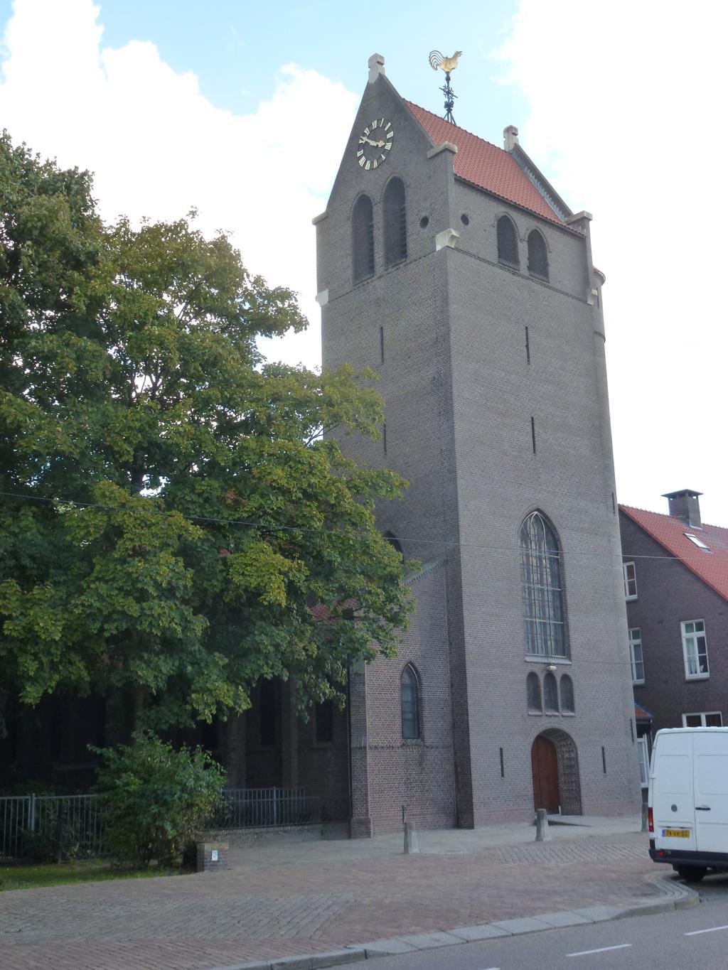
Onze-Lieve-Vrouw van Lourdeskerk
39m away
Pachtakker, 5625 WS, Eindhoven
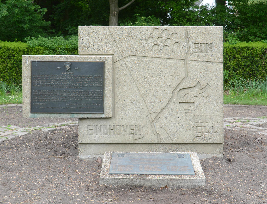
Airborne 101 Monument Eindhoven
620m away
Airbornelaan, 5632 EM, Eindhoven
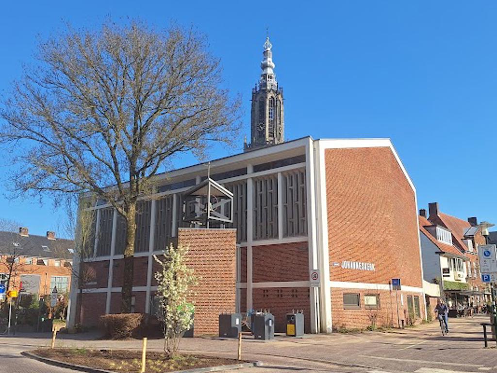
Johanneskerk
708m away
Sterrenlaan, 5631 JB, Eindhoven
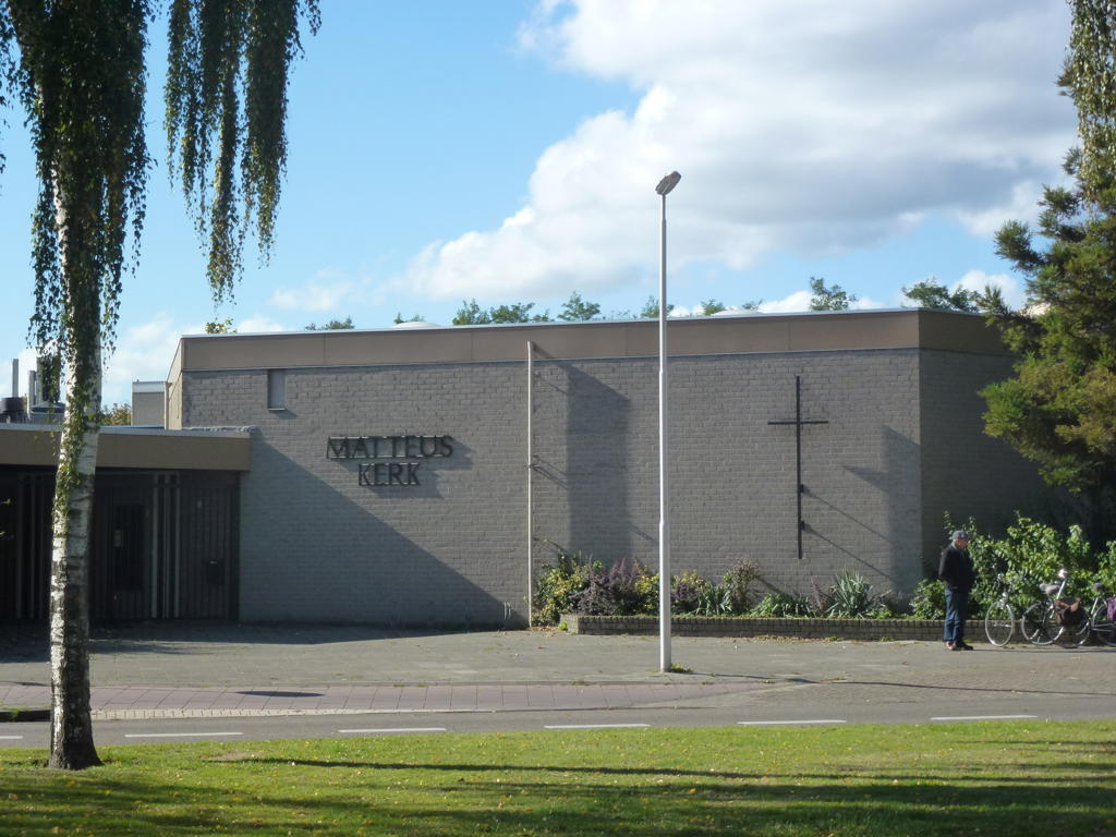
Matteuskerk
757m away
Suikerpeerstraat, 5632 KA, Eindhoven
Jacobuskerk
885m away
Orionstraat, 5632 DA, Eindhoven
Flipside
903m away
56 Tarwelaan, 5632 KG, Eindhoven