About Bas-Reliëf Plattegrond Stadshart
A bronze relief map of Eindhoven’s city center lies embedded in the pavement, offering a tactile and visual representation of the urban layout. The map captures the intricate network of streets, canals, and landmarks, allowing visitors to trace the city’s structure with their hands or eyes. The raised surfaces of the relief highlight key buildings and public spaces, creating a miniature version of the bustling city around it.
This map is not just a tool for navigation but a celebration of Eindhoven’s transformation over time. It reflects the city’s growth from a small medieval settlement to a modern hub of innovation and design. The relief’s placement in the heart of the city invites passersby to pause and connect with Eindhoven’s layered history, all while standing amidst its contemporary vibrancy.
Marks of Time
The relief map tells the story of Eindhoven’s evolution. Notice the depiction of the Oude Stadsgracht, a remnant of the city’s medieval defenses. The canals, once vital for trade and protection, are now integrated into the urban landscape. The map also highlights the Philips legacy, with key locations tied to the company that transformed Eindhoven into a global center for technology and innovation. Each raised feature on the map represents a chapter in the city’s history, from its industrial boom to its current role as a design capital.
Plan your perfect trip to Eindhoven with Travo! Download now and start exploring.
Details That Speak
Look closely at the map’s surface, and you’ll see the precision of its craftsmanship. The contours of the streets and the textures of the buildings are rendered with care, making the map both an artistic and functional piece. The tactile nature of the relief allows everyone, including the visually impaired, to engage with the city’s layout. The map’s bronze material ensures durability while giving it a timeless quality, blending seamlessly with the surrounding urban environment.
Living History
As you explore the relief map, you’re standing in a city that constantly reinvents itself. Eindhoven’s commitment to innovation is evident in its architecture, public spaces, and cultural initiatives. The map serves as a bridge between the past and the present, reminding visitors of the city’s roots while celebrating its forward-thinking spirit. It’s a testament to how Eindhoven honors its history while embracing change.
Artistic and Cultural Significance
The relief map is more than a practical guide; it’s a piece of public art that reflects Eindhoven’s identity. Its central location makes it a gathering point for locals and tourists alike, fostering a sense of community and curiosity. The map’s design encourages interaction, inviting people to trace their paths, discover hidden details, and appreciate the city’s unique character. It’s a symbol of Eindhoven’s dedication to blending functionality with creativity.
Why It Matters Today
In a city known for its innovation, the relief map stands as a reminder of Eindhoven’s enduring connection to its history. It’s a place where the old and the new coexist, where stories of the past meet visions of the future. For visitors, it offers a chance to engage with the city in a meaningful way, turning a simple walk into an exploration of Eindhoven’s rich heritage and dynamic present.
Map loading...
Location
Oude Stadsgracht, 5611 DH, Eindhoven
More Information
Nearby Places
Bas-Reliëf Stoommachine
9m away
Oude Stadsgracht, 5611 DH, Eindhoven

Accolade
21m away
Oude Stadsgracht, 5611 DH, Eindhoven
Casetteplafond
54m away
Stadhuisplein, 5611 EM, Eindhoven
Designhuis Eindhoven
57m away
3 Stadhuisplein, 5611 EM, Eindhoven

Boilerput (Energie)
59m away
Oude Stadsgracht, 5611 DH, Eindhoven
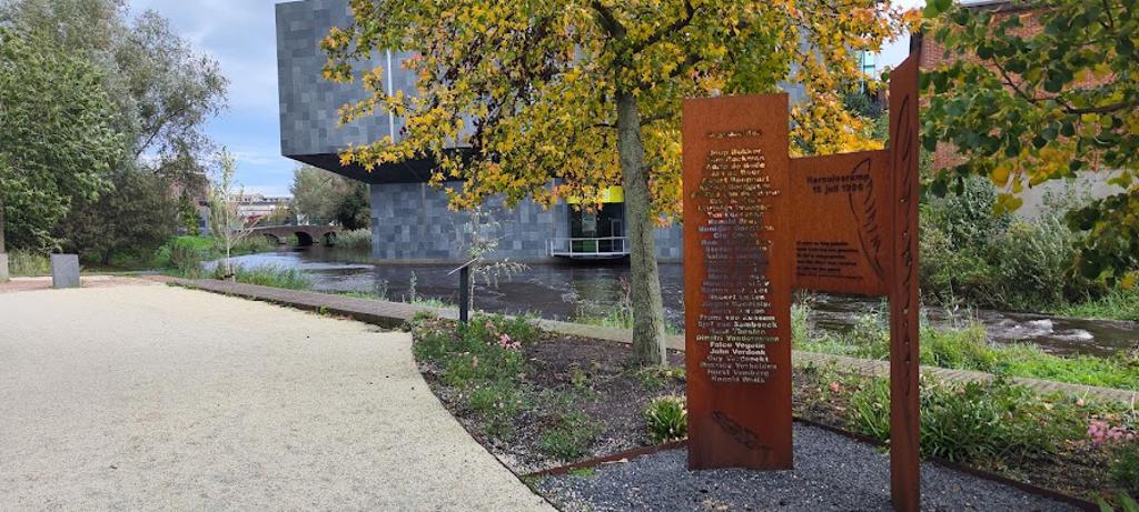
Herculesramp 15 juli 1996
69m away
Oude Stadsgracht, 5611 DH, Eindhoven